
Temperatures on Sunday and Monday will be in the 30s, meaning the potential rain, snow and ice mix could make for slick road conditions when going back to school after holiday breaks. The snow will start Sunday night, while most people are at home or asleep, and turn to rain and snow, with the potential for freezing rain, early Monday morning.
RELATED: Brutal cold has been rough on water mains
News Center 7 meteorologist Brett Collar said that when taking the kids to school, it is better to be safe than sorry.
“Regardless of what falls from the sky, the concern is travel,” Collar said. “There is certainly a concern that roads could be slick or ice over.”
The period from Monday morning into lunchtime is when roads are expected to be slickest.
Giving yourself more time to get to work or school and keeping more space between you and the car in front of you are among tips that Collar gave to stay safe with slick road conditions.
“Driving carefully is especially important on bridges and overpasses because they are exposed to more wind and freeze over first,” Collar said.
RELATED: Cold weather brings uptick in broken down vehicles on highways
Some school districts weren’t scheduled to return from holiday breaks until Monday, but many others had planned to come back earlier this week. Frigid temperatures and below-zero wind chills, however, prompted closures for many of those districts.
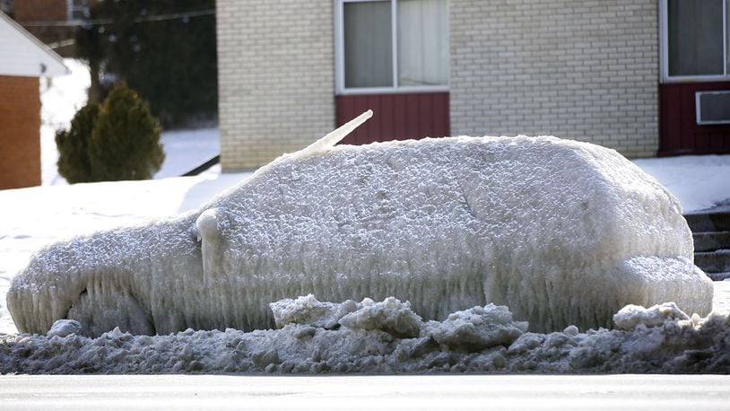
Temperatures like this week also bring an increase in car problems — you might have noticed cars abandoned on area highways. According to AAA, it takes a car battery twice as much power to start when temperatures drop below freezing.
Car tires are affected by the cold, too. Tires need more pressure when it is cold out, and under-inflated tires are more likely to sustain a blow out or flat.
The year is off to a record-breaking cold start. On Jan. 2, it was 13 below zero, breaking a 120-year-old record. Sunday and Monday will be the first days in 2018 that will be above freezing.
RELATED: Dayton shatters 120-year-old record for coldest weather
But that will come only after Saturday’s overnight low of about five below zero and morning wind chill values between 10 and 20 below zero. The high Saturday afternoon will only reach about 12 degrees, but you can look forward to some sun.
Temperatures will climb into the low 30s Sunday evening.
Most of the Miami Valley can expect scattered snow showers later in the day. If you live north of Interstate 70, you might even see some accumulation because it has been below freezing for so long. Southern parts of the area could see a wintry mix.
Monday will be warmer still with temperatures in the upper 30s. Collar said he expects temperatures to stay above freezing on Monday.
MORE: 5 day forecast
About the Author